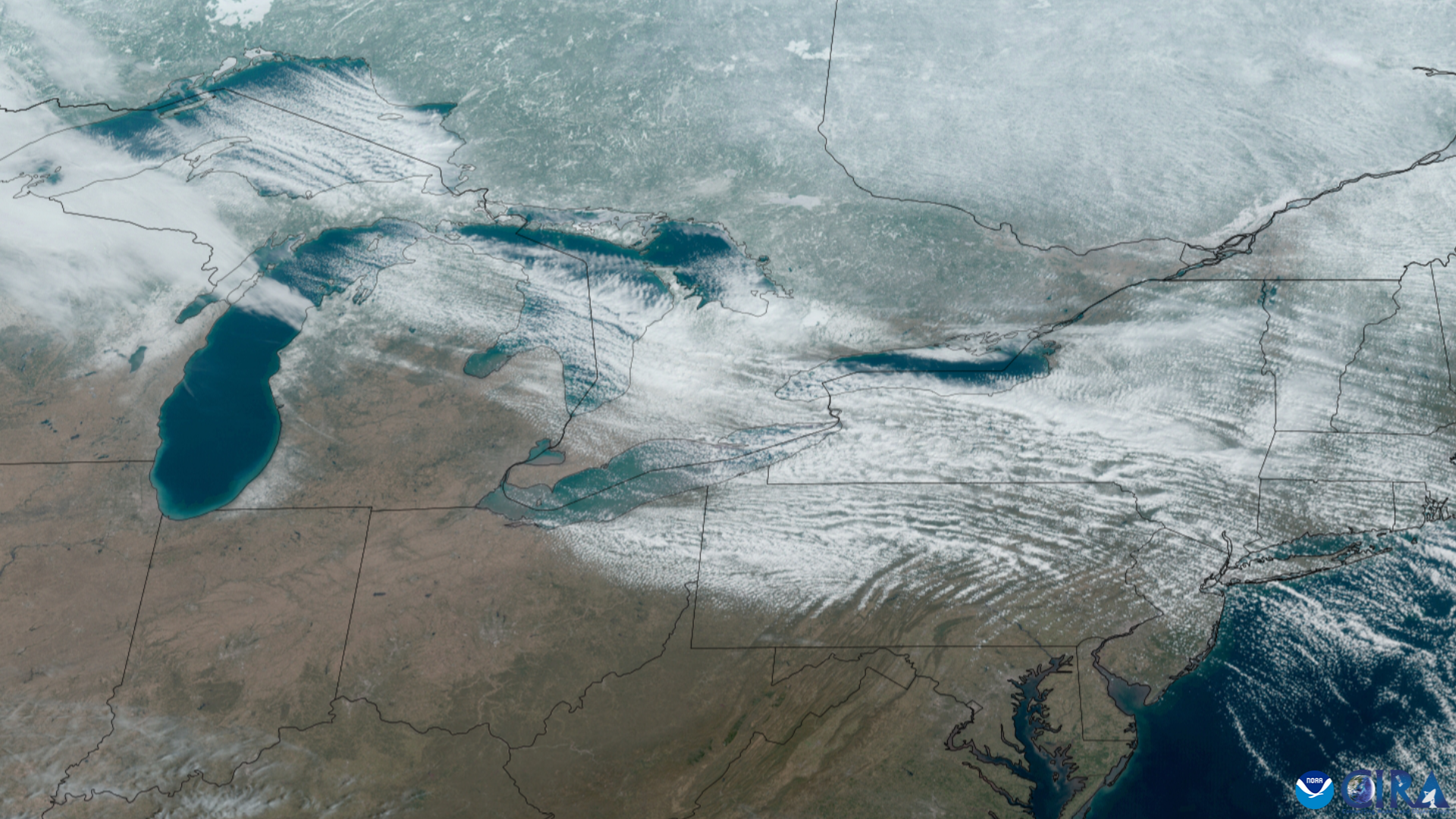
Lake-effect snow showers in Marquette and Baraga counties are expected to intensify Thursday afternoon into Thursday night, according to the National Weather Service in Marquette.
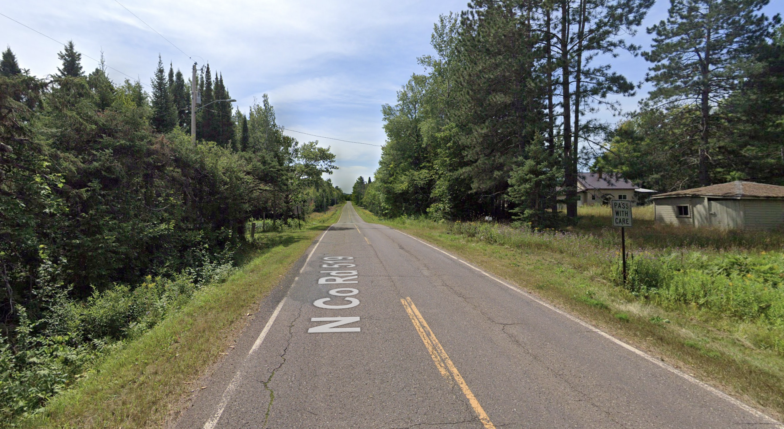
A winter weather advisory remains in effect until noon Friday, Nov. 13. In its Thursday morning update, the NWS forecast an additional 3 to 8 inches over higher elevations, with up to 10 inches in rural areas north of U.S. 41 and west of Marquette County Road 510.
Less than an inch is expected near Lake Superior, including the city of Marquette. Conditions could worsen sharply inland, particularly along U.S. 41 between Marquette and Negaunee.
Commute impacts
The advisory warns of difficult travel during Thursday’s morning and evening commutes and Friday morning’s commute. The NWS also highlighted those commute risks in a Nov. 11 post, emphasizing that the greatest accumulations were expected away from the lakeshores.
Wind gusts could reach 25 mph, or 35 mph near Lake Superior.
Drivers should reduce speed and prepare for abrupt changes in visibility and road conditions. Snow bands can bring heavy snowfall to one location while nearby roads remain dry.
Check NWS Marquette for updated forecasts and advisories.