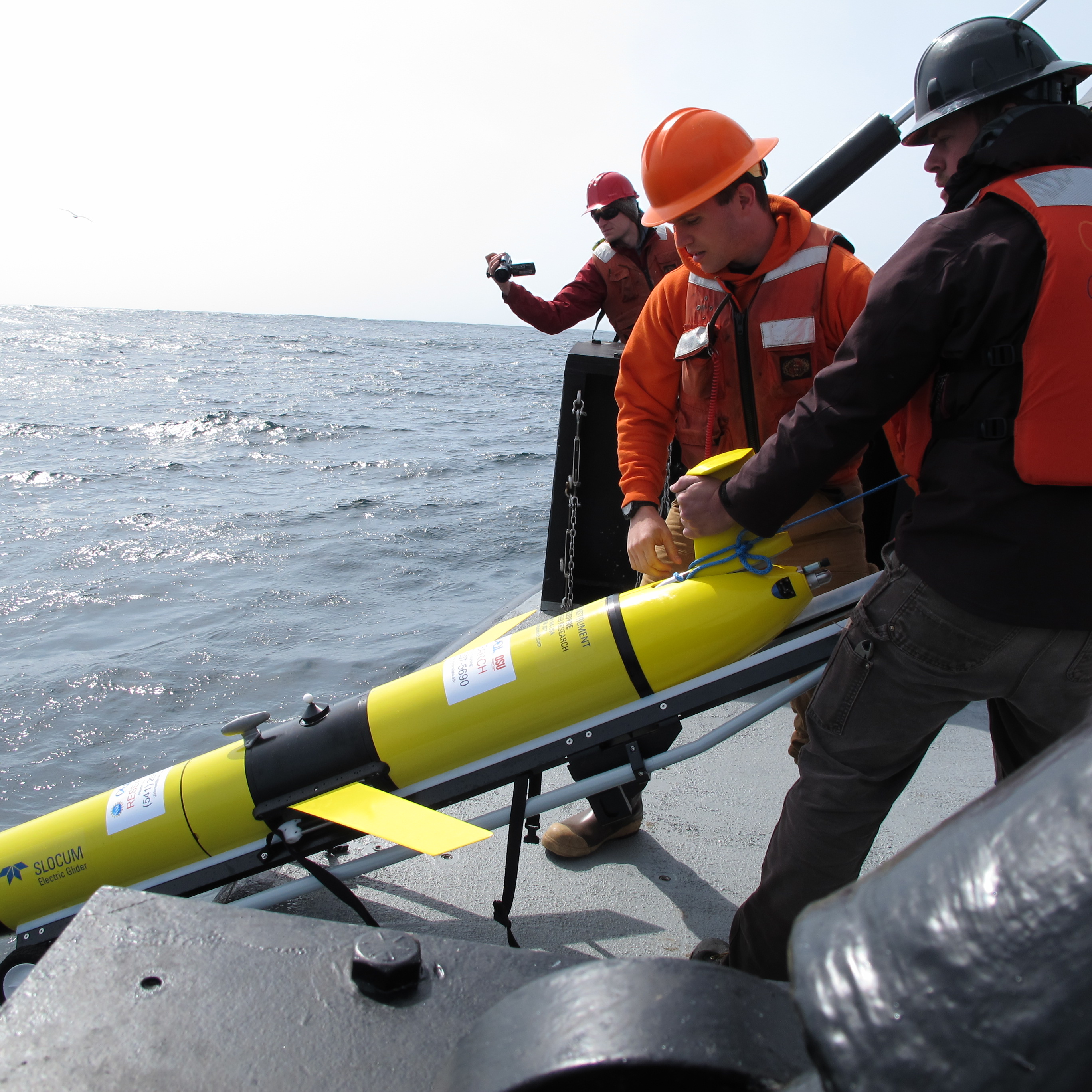
Scientists from NOAA, the U.S. Environmental Protection Agency and multiple universities are completing four days of hands-on training with autonomous underwater gliders at Michigan Technological University's Great Lakes Research Center in Houghton. The workshop wraps up Friday, Aug. 7.
The event is a collaboration between the GLRC and the Great Lakes Observing System, a NOAA-certified nonprofit that coordinates data collection across the basin. All seats filled before the workshop began Tuesday, Aug. 4, according to Michigan Tech's Tech Today newsletter.
Participants trained on Teledyne Marine Slocum gliders, torpedo-shaped robots that dive and climb by adjusting their buoyancy. The vehicles can travel from the lake surface to the bottom of the Great Lakes, or to depths of 1,000 meters in the ocean, using very little power. They stay deployed for weeks, collecting environmental data and surfacing every few hours to transmit readings by satellite and receive new commands.
The workshop is organized under the Great Lakes Underwater Glider Group, known as GLUGG. Attendees include representatives from the Cooperative Institute for Great Lakes Research, which partners with NOAA on freshwater science.
Hayden Henderson, senior research engineer at the GLRC and assistant director of Michigan Tech's Center for Environmental Engineering, Sensing, and Integrated Modeling, authored the workshop announcement and serves as the point of contact for the center's glider research program. He can be reached at [email protected].
The training builds on years of glider work in the region. GLOS, the University of Minnesota Duluth and the EPA have previously deployed gliders in Lake Superior. In one EPA-led survey, a single Slocum glider completed 3,000 vertical profiles over 1,000 kilometers between early and late summer, dramatically expanding water quality observations, according to Teledyne Marine.
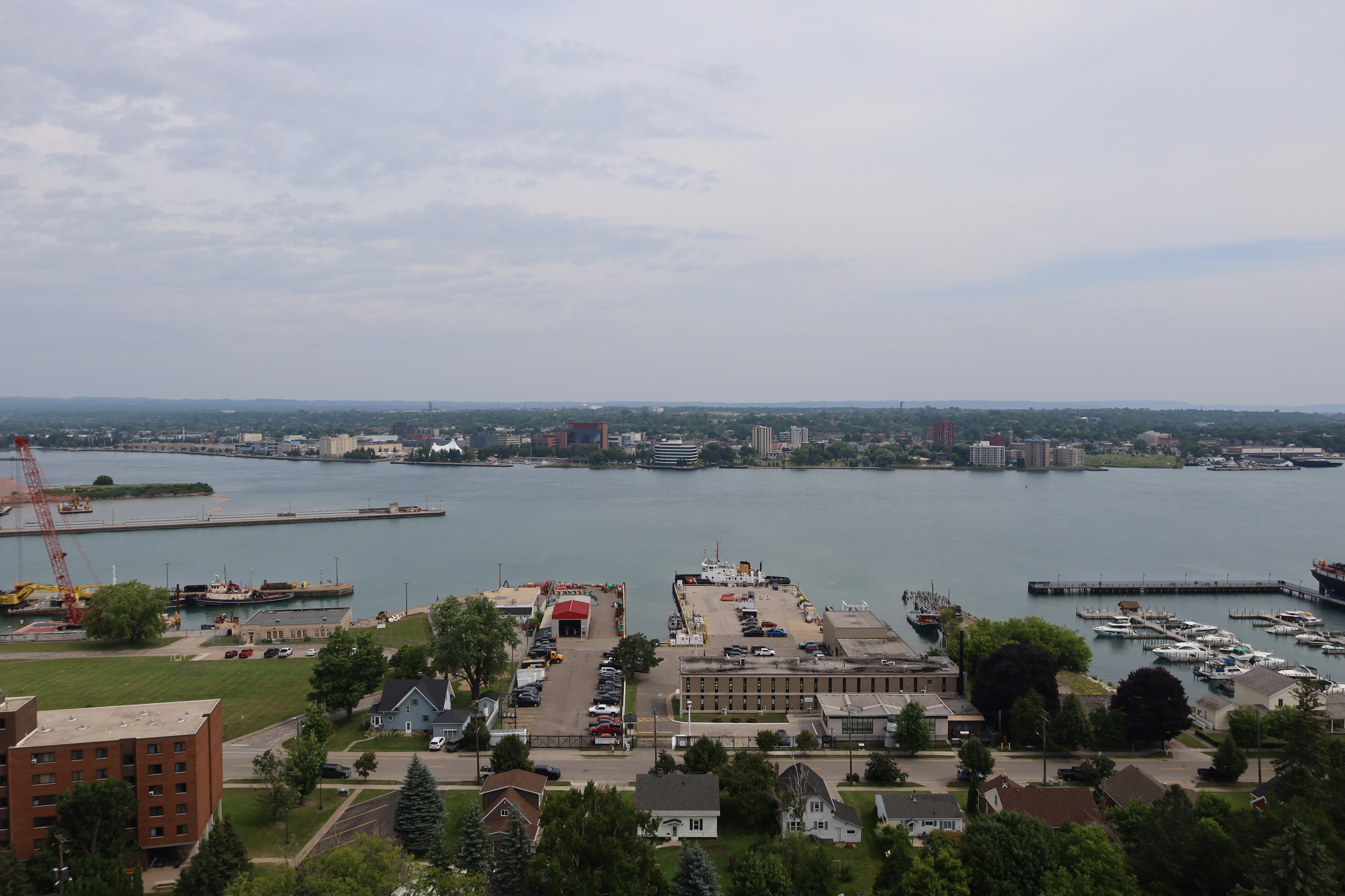
The GLRC, founded in 2012, sits on Michigan Tech's Innovation Shore along the Keweenaw Waterway, just miles from Lake Superior. Research vessels launch directly from campus. The center also leads the Lakebed 2030 initiative, a collaborative effort to map Great Lakes lake beds at high resolution. Only about 15 percent have been mapped at high density so far, according to Michigan Tech Magazine.
"What we're showcasing here is a modern approach to mapping all of our Great Lakes at very high resolution in terms of lake bed bathymetry," GLRC research engineer Travis White said in a 2025 Michigan Tech Magazine feature on the initiative.
The Great Lakes system provides drinking water to more than 40 million people and supports more than 1.5 million jobs, according to Teledyne Marine.