The Michigan Department of Natural Resources and Marquette County Sheriff’s Office and Emergency Management lifted the “Ready” preparedness alert for North Basin Drive residents Monday, Oct. 19, according to a DNR release reproduced by SooLeader.
Residents had spent about a week preparing for a possible evacuation because of the Ridge Fire, about 10 miles northwest of Marquette. The DNR reported the 466-acre fire was 50% contained Oct. 19.
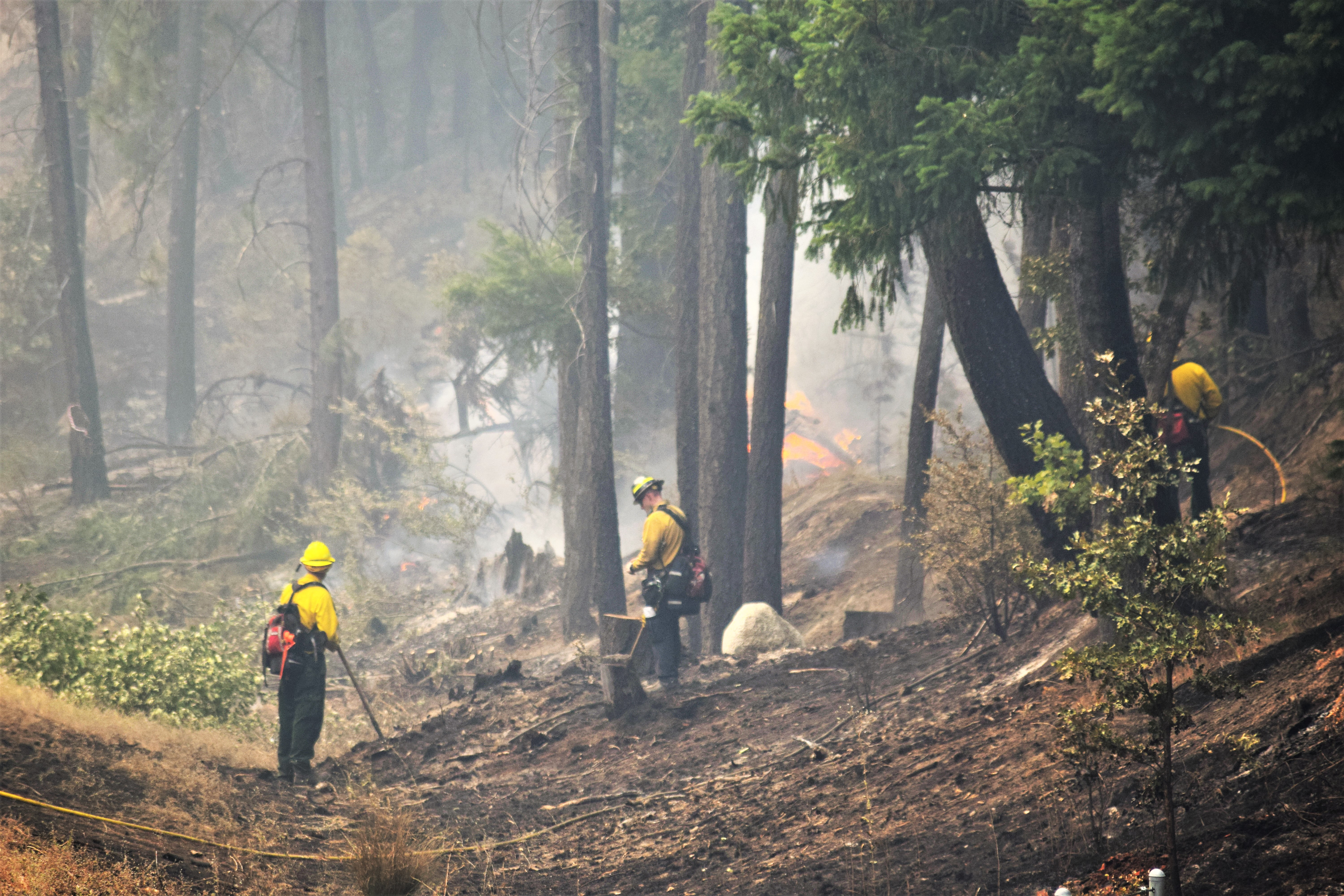
Cooler, wetter conditions helped crews strengthen barriers against the fire’s spread toward nearby homes. An infrared drone survey identified hot spots, providing information officials used alongside fire behavior forecasts when deciding to lift the alert.
“Thanks to the hard work of the fire crews out on the line and the information that we were able to gather through various tools like the infrared drone flight, we’re happy to be able to lift the ‘Ready’ status for area residents,” said Nate Stearns, Rugged Terrain Complex incident commander, in the release.
Stearns said officials did not anticipate reactivating the evacuation protocol but would continue monitoring conditions and act if necessary.
The Ridge Fire is north of the Dead River Basin and west of County Road 510. Its cause remained under investigation as of the update.
Continuing closures
The DNR’s Oct. 19 update listed several continuing closures:
- The Noquemanon Trail system west of the trailhead on County Road 510.
- Craig Lake State Park north of Craig Lake proper and the Teddy Lake Yurt, through the end of October.
- The North Country Trail within Craig Lake State Park.
The rest of Craig Lake State Park remained open. The DNR also asked the public to avoid the Black River Fire area for safety and to keep firefighting operations clear.
Three fires under joint management
The Ridge Fire is part of the Rugged Terrain Complex, which also includes the Craig Lake and Black River fires.
As of Oct. 19, the Craig Lake Fire covered an estimated 606 acres and was 90% contained. The Black River Fire covered roughly 350 acres and was 70% contained. The DNR identified lightning as the cause of both fires.
A total of 73 firefighters were assigned to the three fires Oct. 19. A DNR Incident Management Team was coordinating the response, supported by federal, state and local agencies, fire departments, the Keweenaw Bay Indian Community and Bay Mills Indian Community.
The DNR advised residents to check Michigan.gov/BurnPermit before burning yard debris or starting a campfire.